ENV 12610:1997
(Main)Medical informatics - Medicinal product identification
Medical informatics - Medicinal product identification
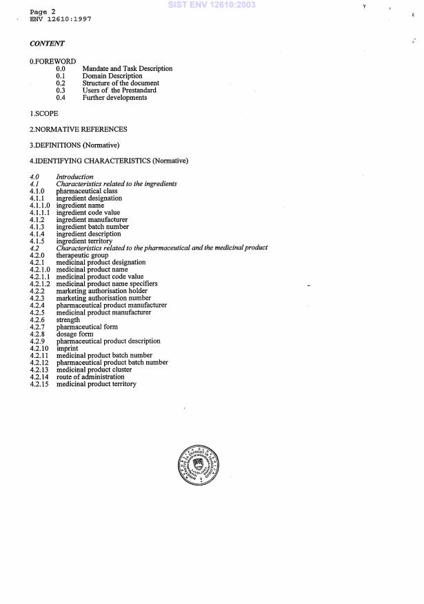
The purpose of this European PreStandard is to define the semantic categories related to the identification of medicinal products and to establish a categorial structure that allows the description of the organization of the semantic categories representing the underlying system of characteristics.
Medizinische Informatik - Identifikation von Arzneimitteln
Informatique de santé - Identification des produits médicaux
Medicinska informatika - Identifikacija medicinskih izdelkov
General Information
Standards Content (Sample)
SLOVENSKI STANDARD
01-oktober-2003
Medicinska informatika - Identifikacija medicinskih izdelkov
Medical informatics - Medicinal product identification
Medizinische Informatik - Identifikation von Arzneimitteln
Informatique de santé - Identification des produits médicaux
Ta slovenski standard je istoveten z: ENV 12610:1997
ICS:
35.240.80 Uporabniške rešitve IT v IT applications in health care
zdravstveni tehniki technology
2003-01.Slovenski inštitut za standardizacijo. Razmnoževanje celote ali delov tega standarda ni dovoljeno.
SIST ENV
...
This May Also Interest You
This document is intended for use by parties to the design, development, acquisition, use and monitoring of health-care related information and information systems. It provides a list of units of measurement to be used in representing values of measurable quantities in health sciences.
The International System of Units forms the basis for this EN. Units with their associated kinds-of-quantity are arranged in order of dimension in Tables 1, 2 and 4 (Clause 5), and in Annex A.
Different kinds-of-quantity may apply to a given combination of component(s) and system. Often the different quantities are interconvertible and examples of such interconvertibility are given in Annex C.
Tables of conversion factors (Annex A) are provided from units in current use to SI units or their multiples.
To represent the result of a measurement (Clause 6), this EN addresses requirements for the following:
¾ relational operator (Clause 4)
¾ numerical value (Subclause 6.1)
¾ uncertainty of measurement (Subclause 6.2; Annex D)
¾ unit of measurement (Clause 5).
This EN covers the requirements for representation of these data elements in displayed and printed form, and provides an approach for support of languages in non-Roman alphabets (Clause 7).
The scope of this standard is limited to textual representation. Support is not provided for the display or printing of images or graphs.
This standard does not cover the requirements for expression of the results of measurements in speech, speech synthesis or handwriting. It does not cover the form and syntax of requests for clinical measurements, nor detailed aspects of data transmission. It refers the user to other CEN standards that address the detailed specification of the interchange format. It does not address the syntax for recording of natural-language statements about quantities, such as those used in recording information about drugs dispensed or about treatment of patients. It does not cover the units of financial quantitie
- Standard116 pagesEnglish languagesale 10% offe-Library read for×1 day
This document:
— specifies a reference land administration domain model (LADM) covering basic information-related components of spatial plan information on land/water and elements below/on/above the surface of the Earth with 2D/3D/4D (3D + time) geometric representation;
— provides an abstract, conceptual model with packages related to:
— plan unit, i.e. the smallest homogenous area/space (2D/3D/4D) with assigned function/purpose, e.g. office, education, retail;
— plan block, i.e. a set of neighbouring plan units decided on by planning authorities, e.g. high-density residential area, nature area, heavy industry area;
— plan group unit, i.e. areas corresponding to the higher planning levels;
— plan group, i.e. hierarchy in spatial plans consisting of multiple plan blocks, e.g.:
— continent/regional-wide (e.g. European regions),
— country-wide (e.g. Indonesia, the Netherlands),
— island,
— state or region province,
— municipality or city, and
— urban or rural;
— permit, i.e. something that is granted to a party which gives the party permission to undertake an activity which would otherwise be restricted;
— defines terminology for spatial plan information as part of land administration, based on various national and international systems, that is as simple as possible in order to be useful in practice. The terminology allows a shared description of different formal or informal practices and procedures in various jurisdictions;
— provides a platform for comparison and monitoring of spatial planning information based on Sustainable Development Goal (SDG) indicators;
— provides an approach to modelling the integration of spatial plan information (outputs of spatial plans) into land administration;
— provides a basis for national and regional profiles;
— enables the combining of land-use planning and land development planning in land administration information from different sources in a coherent manner;
— allows for the relationship to multiple parties and groups to be expressed together with a referencing structure so that the sourcing of all information systems can be maintained. It reuses core LADM classes so that sourcing of all information systems can be maintained;
— establishes the common elements and basic schema for spatial plan information upon which a more detailed schema can be established.
NOTE This document does not interfere with (national) and sub-national spatial planning laws.
- Draft33 pagesEnglish languagesale 10% offe-Library read for×1 day
- 19-Aug-2025
- 35.240.70
- CEN/TC 287
This document:
a) builds on the models established in ISO 19152-1 and ISO 19152-2 to cover the valuation aspect of the Land Administration Domain Model (LADM);
b) provides an abstract conceptual model covering:
1) values (assessed values, valuation procedures, mass valuation);
2) transaction prices;
3) sales statistics;
4) valuation units (parcel (legal space parcel), building, condominium unit, valuation unit group).
c) provides terminology for the valuation component of land administration/georegulation, based on various national and international systems, that is as simple as possible in order to be useful in practice. The terminology allows a shared description of different formal or informal practices and procedures in various jurisdictions;
d) specifies a content model independent of encoding that can be employed as a basis for local, national and regional profiles for valuation processes; and
e) enables the combining of valuation information from different sources in a coherent manner.
NOTE This document does not interfere with national property valuation-related regulations with potential legal implications.
- Standard64 pagesEnglish languagesale 10% offe-Library read for×1 day
- 22-Jul-2025
- 35.240.70
- CEN/TC 287
This document defines the General Feature Model (GFM) as the metamodel for creating application schemas in the context of geo-information modelling. The GFM is explained and implemented as rules for creating and documenting application schemas, including principles for the definition of features.
This document is applicable to:
— conceptual modelling of features and their properties from a universe of discourse;
— definition of application schemas;
— general rules for using a conceptual schema language for application schemas;
— rules for application schemas using UML as the conceptual schema language;
— transition from the concepts in the conceptual model to the data types in the application schema;
— integration of standardized schemas from other ISO geographic information standards with the application schema.
This document does not apply to:
— choice of one particular conceptual schema language for application schemas;
— definition of any particular application schemas;
— representation of feature types and their properties in a feature catalogue;
— representation of metadata;
— rules for mapping one application schema to another;
— implementation of the application schema in a computer environment;
— computer system and application software design;
— programming.
- Standard87 pagesEnglish languagesale 10% offe-Library read for×1 day
- 22-Jul-2025
- 35.240.70
- CEN/TC 287
This document:
— defines a reference land administration domain model (LADM) covering basic information-related components of land registration (including elements above and below the surface of the Earth);
— provides an abstract, conceptual model with three packages and one sub-package related to:
— parties (people and organizations);
— basic administrative units, rights, responsibilities and restrictions (RRRs);
— spatial units (parcels, and the legal space of buildings and utility networks and other geometry) with a sub-package on surveying and spatial representation (geometry and topology);
— provides terminology for land administration (LA), based on various national and international systems, that is as simple as possible in order to be useful in practice. The terminology allows a shared description of different formal or informal practices and procedures in various jurisdictions;
— provides a platform for comparison and monitoring that is based on indicators;
— provides a basis for national and regional profiles; and
— enables the combination of land administration information from different sources in a coherent manner.
The following is outside the scope of this document:
— interference with (national) land administration laws with potentially legal implications; and
— construction of external databases with party data, address data, land cover data, physical utility network data, archive data and taxation data. However, the LADM provides stereotype classes for these data sets to indicate which data set elements the LADM expects from these external sources, if available.
This document provides the concepts and the detailed structure for standardization in the land administration domain.
- Draft157 pagesEnglish languagesale 10% offe-Library read for×1 day
- 03-Jun-2025
- 35.240.70
- CEN/TC 287
Within the context of training data for Earth Observation (EO) Artificial Intelligence Machine Learning (AI/ML), this document specifies a conceptual model that:
— establishes a UML model with a target of maximizing the interoperability and usability of EO imagery training data;
— specifies different AI/ML tasks and labels in EO in terms of supervised learning, including scene level, object level and pixel level tasks;
— describes the permanent identifier, version, licence, training data size, measurement or imagery used for annotation;
— specifies a description of quality (e.g. training data errors, training data representativeness, quality measures) and provenance (e.g. agents who perform the labelling, labelling procedure).
- Draft48 pagesEnglish languagesale 10% offe-Library read for×1 day
- 03-Jun-2025
- 35.240.70
- CEN/TC 287
This document specifies the data structure and content of an interface that permits communication between position-providing device(s) and position-using device(s) enabling the position-using device(s) to obtain and unambiguously interpret position information and determine, based on a measure of the degree of reliability, whether the resulting position information meets the requirements of the intended use.
A standardized interface for positioning allows the integration of reliable position information obtained from non-specific positioning technologies and is useful in various location-focused information applications, such as surveying, navigation, intelligent transportation systems (ITS) and location-based services (LBS).
- Standard71 pagesEnglish languagesale 10% offe-Library read for×1 day
- 15-Apr-2025
- 35.240.70
- CEN/TC 287
This document specifies the behaviour of Web APIs that provide access to features in a dataset independently of the underlying data store. This document defines discovery and query operations.
Discovery operations enable clients to interrogate the API, including the API definition and metadata about the feature collections provided by the API, to determine the capabilities of the API and retrieve information about available distributions of the dataset.
Query operations enable clients to retrieve features from the underlying data store based upon simple selection criteria, defined by the client.
- Standard70 pagesEnglish languagesale 10% offe-Library read for×1 day
- 21-Jan-2025
- 35.240.70
- CEN/TC 287
This document specifies a Land Use Meta Language (LUML) expressed as a UML metamodel that allows different Land Use classification systems to be described. This document recognizes that there are a number of Land Use classification systems in existence. It provides a common reference structure for the comparison and integration of data for any generic Land Use classification system, but does not intend to replace those classification systems. This document complements ISO 19144-2 on Land Cover Meta Language (LCML) and can be used independently to describe Land Use or together with ISO 19144-2 to describe a combined Land Cover Land Use.
- Technical specification86 pagesEnglish languagesale 10% offe-Library read for×1 day
- 19-Nov-2024
- 35.240.70
- CEN/TC 287
This document specifies provisions for the use of a conceptual schema language within the context of modelling geographic information. The chosen conceptual schema language is a subset of the Unified Modeling Language (UML).
This document specifies a UML profile for modelling geographic information.
This document specifies a set of core data types for use in conceptual schemas.
The standardization target type of this document is conceptual schemas describing geographic information.
- Standard98 pagesEnglish languagesale 10% offe-Library read for×1 day
- 08-Oct-2024
- 35.240.70
- CEN/TC 287
Questions, Comments and Discussion
Ask us and Technical Secretary will try to provide an answer. You can facilitate discussion about the standard in here.